Kwajalein Aerial Views

Looking North from the southern tip of the atoll. Kwajalein Island and airfield in the foreground below. Ebeye Island, where all of our Marshallese workers and familys live is the first large island on the right center of this photo. Roi-Namor Island which contains the space tracking facility is about seventy kilometers straight north, out of sight.
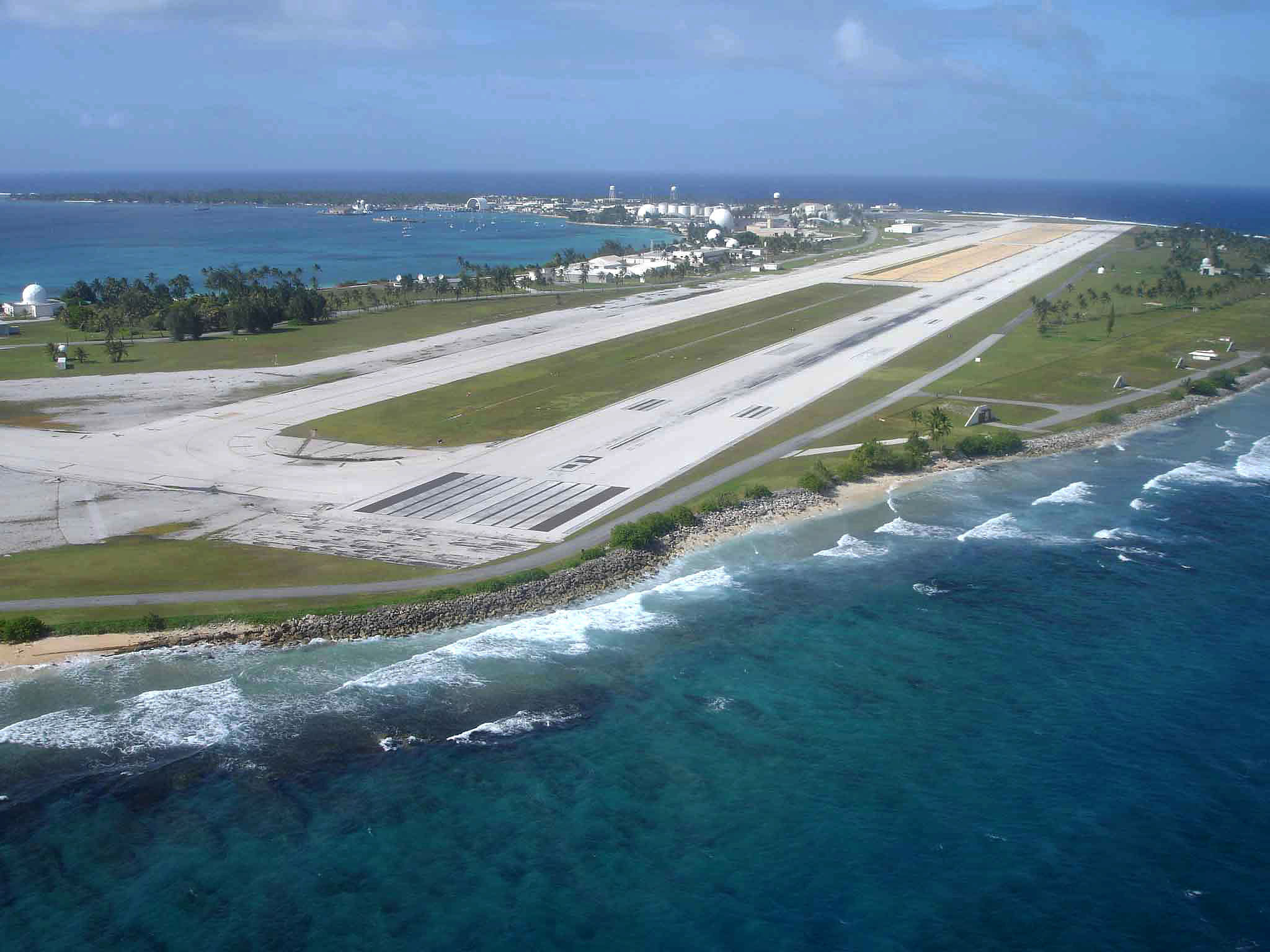
Runway, looking east-northeast. The golf course on the right!
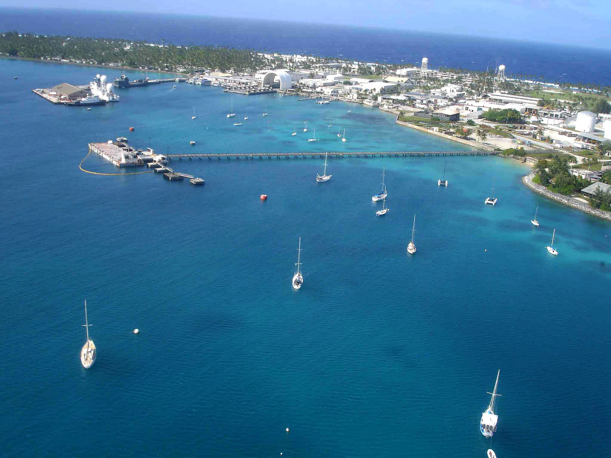
Marina and harbor.
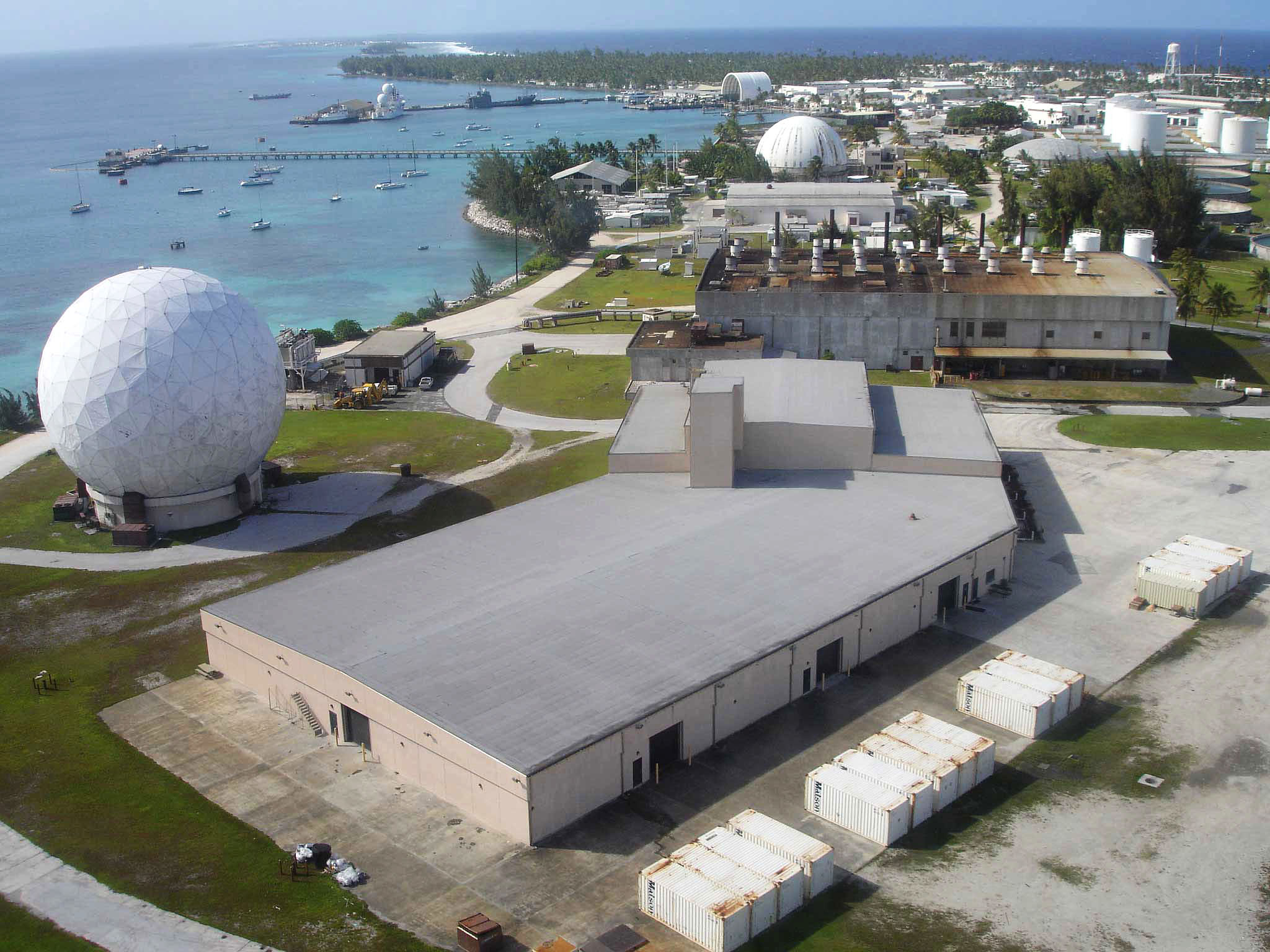
Warehouse and industrial area.
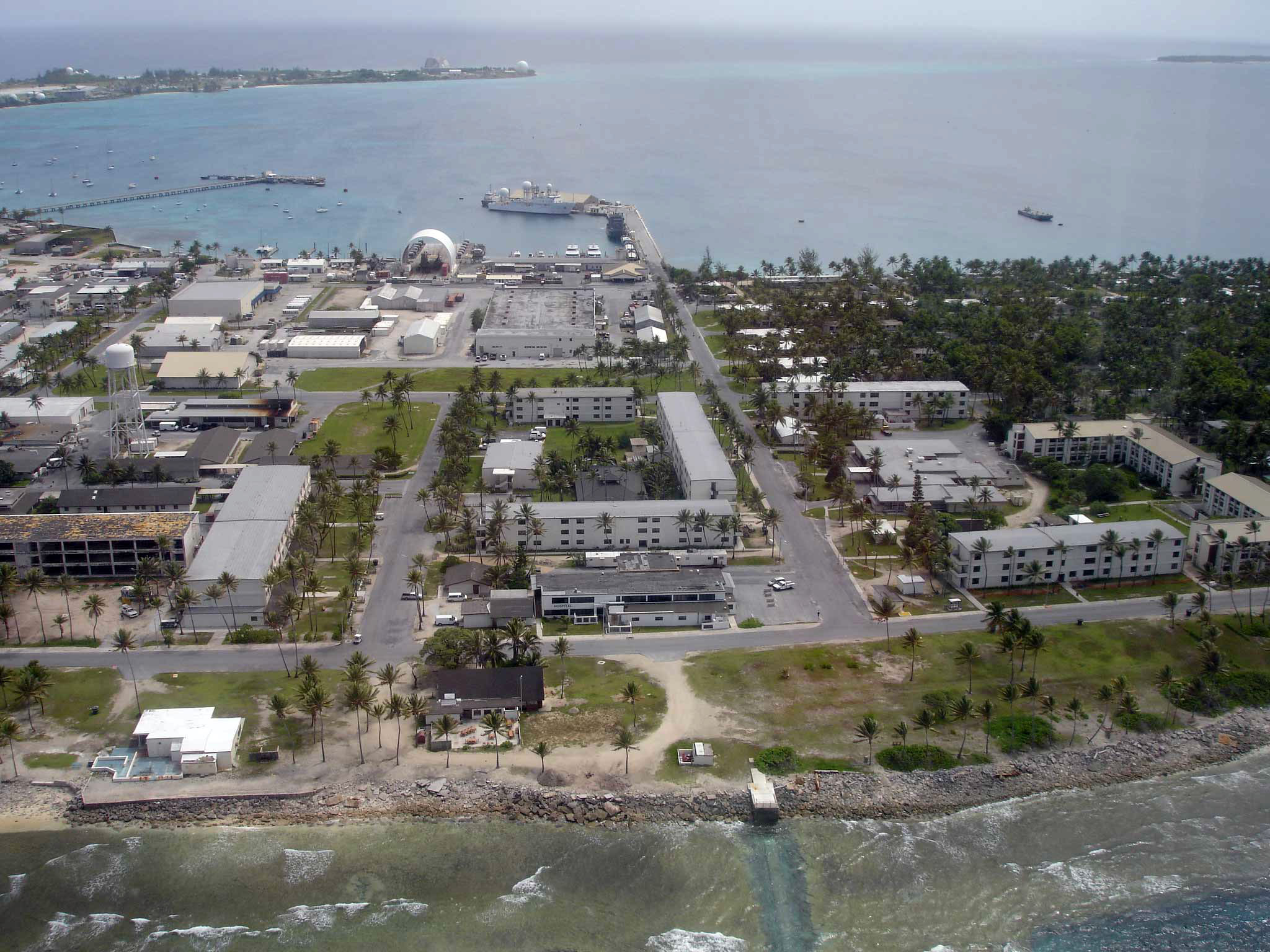
Downtown area.
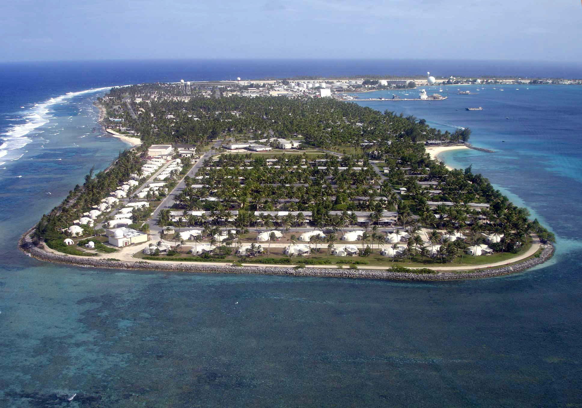
North tip of the island. Great location for watching sunsets and ICBM missle target practice. Family Beach is the sand curve on the right - main location for evening dinners and fun. High School buildings are in the center.

Meck Island.

One of many support islands for space tracking and triangluation.

Roi-Namor Island. Extreme North end of the Atoll.
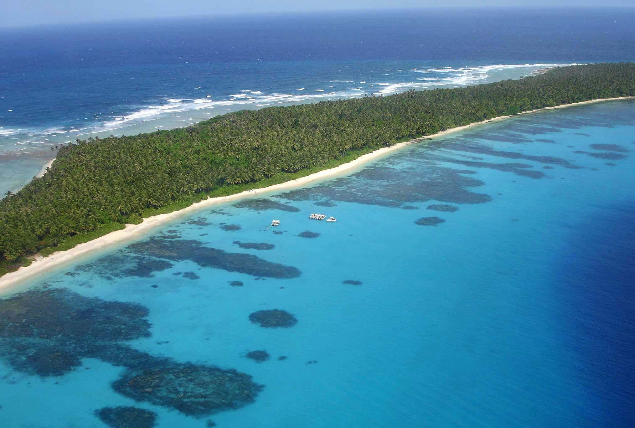
High school Seniors at Bigee Beach on an escape day from school.
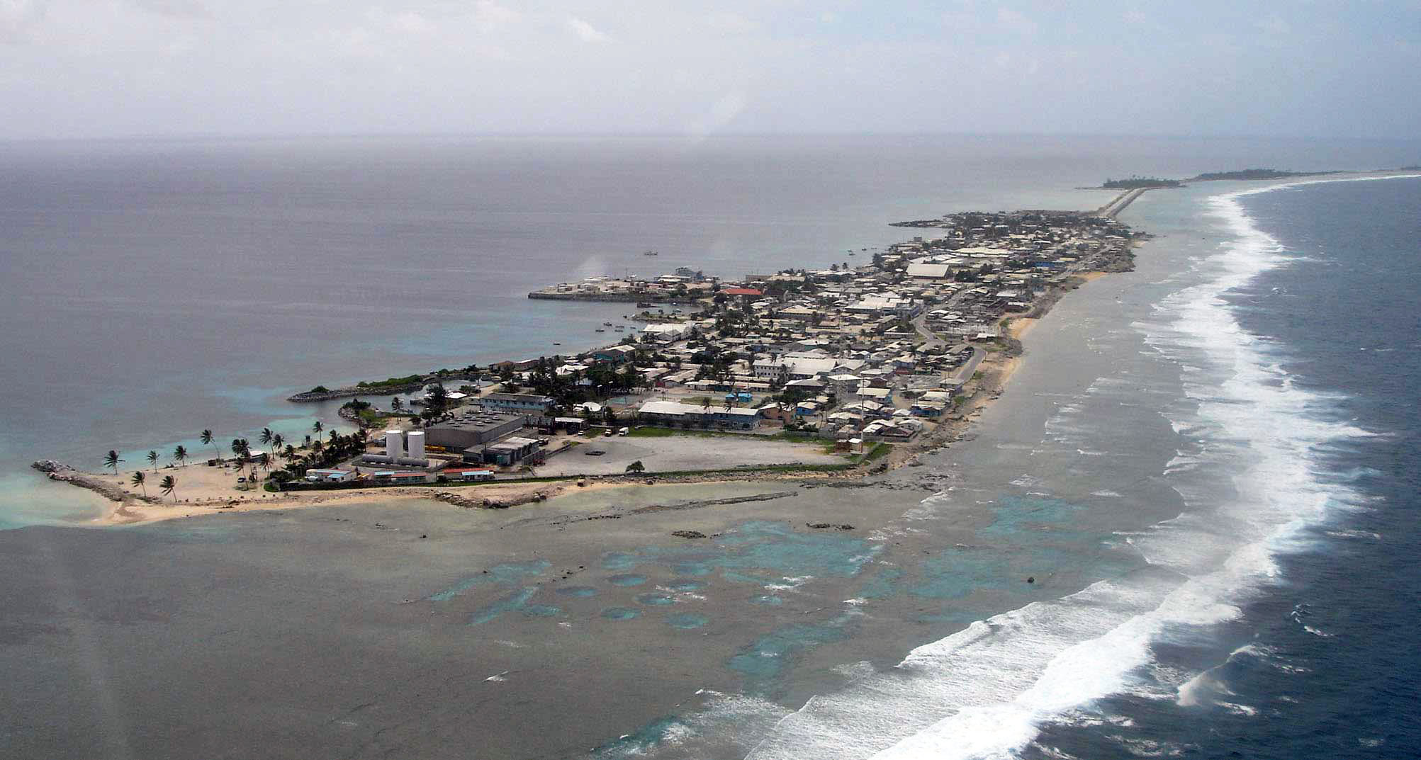
Ebeye Island. Home for our Marshallese workforce and their families.
Return to Kwajalein Atoll
Return to Other Countries